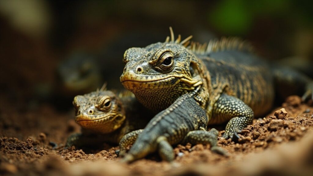
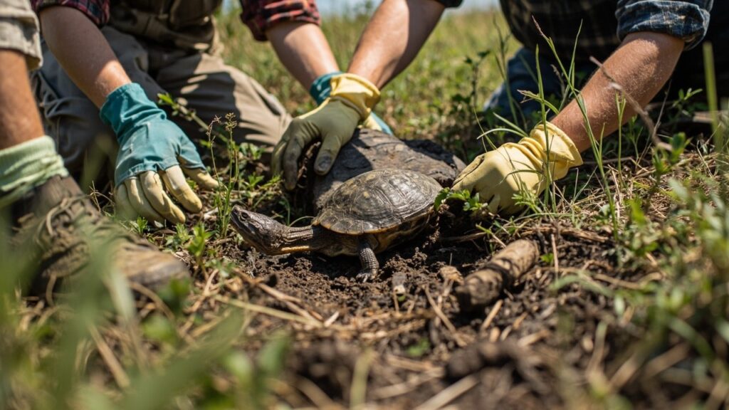
Technology Should Answer a Clear Question
Tools such as remote cameras, GPS tracking, acoustic recorders, environmental DNA, and aerial surveys can improve conservation work when they answer a defined question. The best method depends on the species, habitat, body size, behaviour, and conservation decision at stake.

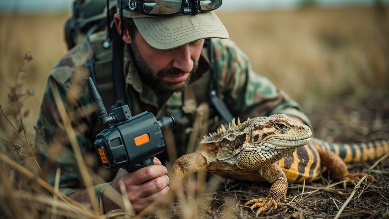
Thermal Maps Need Ground Checks
Drone imagery can help model fine-scale thermal conditions across a landscape. For reptiles, those maps become more useful when they are paired with ground measurements and field observations. A map of likely thermal opportunity is not the same as a direct record of an animal’s body temperature, movement, or survival.
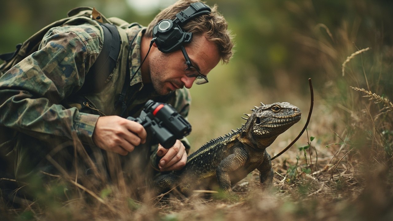
Use Data With Care
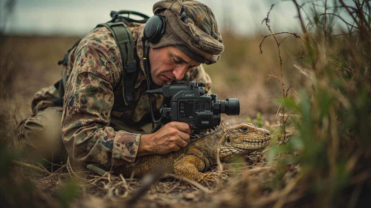
Every method has limits. Drones can disturb wildlife, tracking devices may not suit small animals, and citizen-science observations need identification checks and attention to reporting bias. Permissions, animal welfare, data security, and local expertise should guide the work from design through management action.
Detection is not the same as population health
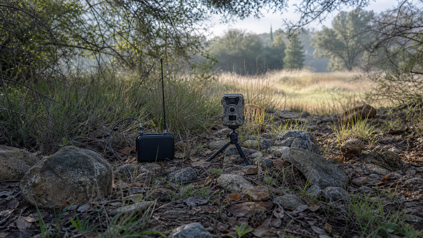
A trail camera, drone image, acoustic recorder, or environmental DNA sample can show that a reptile was detected, but that result does not automatically measure abundance, breeding success, or survival. Each method has a detection bias. A camera sees animals that pass its field of view, while an eDNA sample may reflect material carried by water from elsewhere. Researchers need to match the question, sampling design, and interpretation to the biology of the species.
Tracking can reveal movement between feeding, nesting, and shelter sites, but it also requires careful decisions about device size, attachment, battery life, and animal welfare. Some animals are too small or too sensitive for a suitable device. Remote sensing can map vegetation, water, or surface temperature patterns across a large area, yet ground checks are needed to confirm what the map means for an individual reptile at a particular microhabitat.
Data stewardship is part of the method
Location data can help protect habitat, but precise coordinates may put rare or collectible animals at risk if shared openly. Conservation projects should decide in advance who can access sensitive records, how long the data are retained, and how local communities and land managers are involved. Technology is most useful when it supports a concrete decision, such as protecting a nesting beach, modifying a road crossing, or monitoring habitat recovery. It is less useful when it produces attractive maps without a plan for action or follow-up.
Sources and review notes
Reviewed 23 August 2026. Conservation is rarely a one-step success story. We have kept the language specific about evidence, limits and local context, because a programme that helps one population may not transfer neatly to another.
Reference starting points: The IUCN Red List of Threatened Species, IUCN conservation-translocation guidelines, and the current CITES Appendices. Conservation status, taxonomy and local laws can change, so check the linked databases and the relevant local authority for current information.
Spotted something we should revisit? Send Reptile Explorer a correction—thoughtful reader feedback is always welcome.