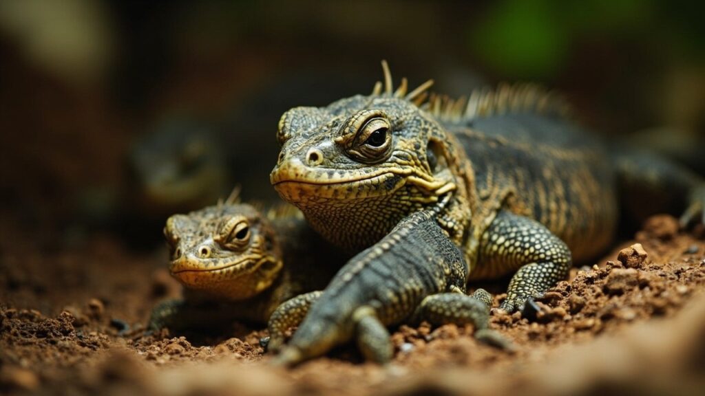
Priority Areas Need More Than a Map
Reptile conservation priorities cannot be identified from species counts alone. Endemism, extinction risk, range size, habitat condition, protected-area coverage, and local threats all matter. A place rich in reptiles is not automatically the place where action will prevent the greatest loss.

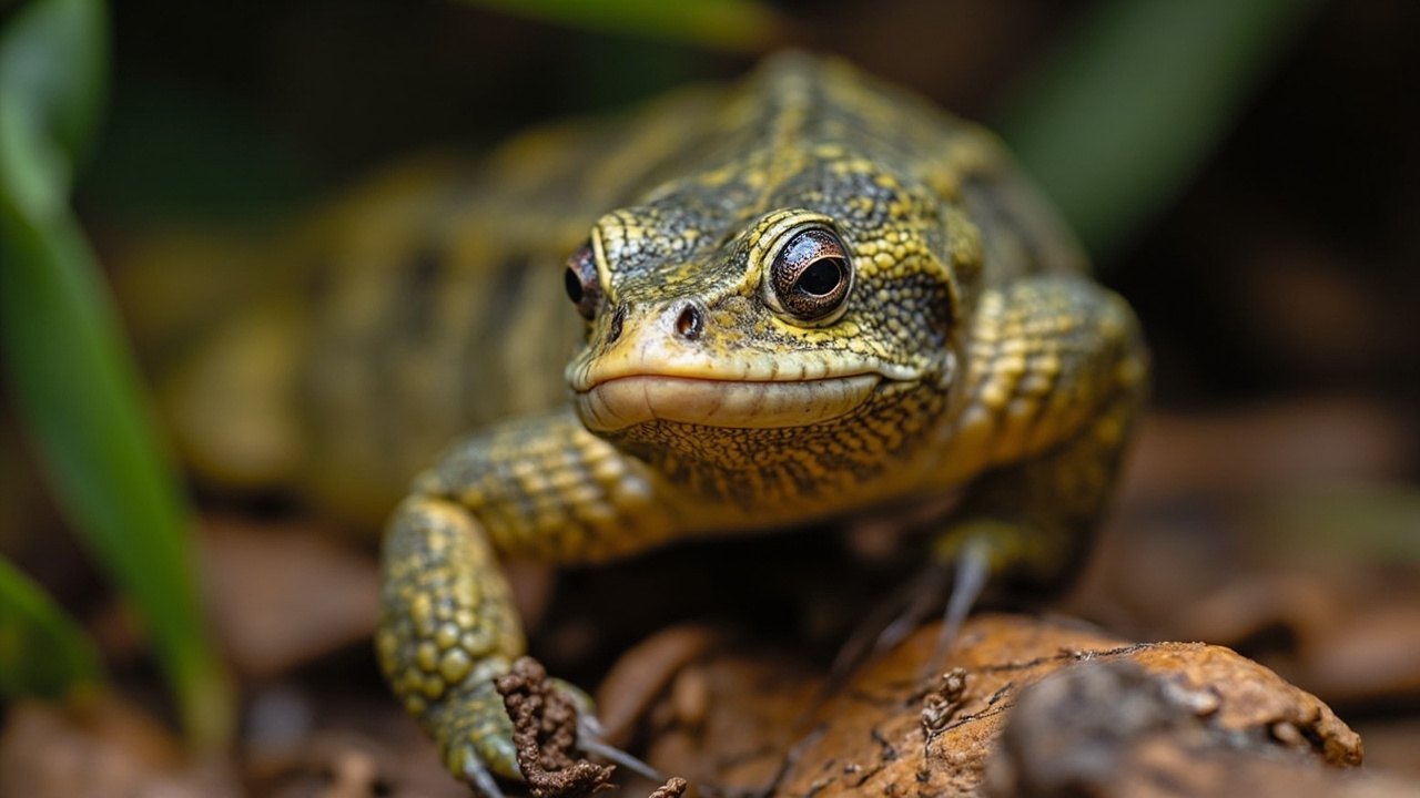
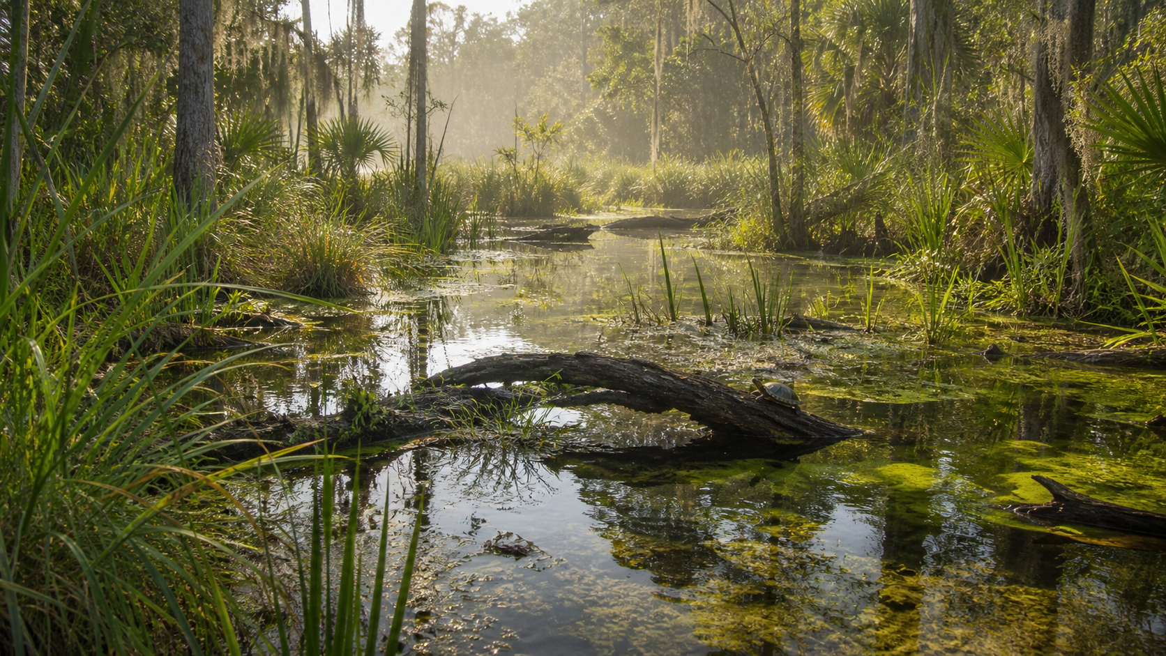
Protect Habitats and Ecological Processes
Effective protection can include safeguarding nesting sites, maintaining river flow, limiting destructive land conversion, restoring connected habitat, and reducing direct collection pressure. The appropriate action depends on the species and the ecological process that supports it.
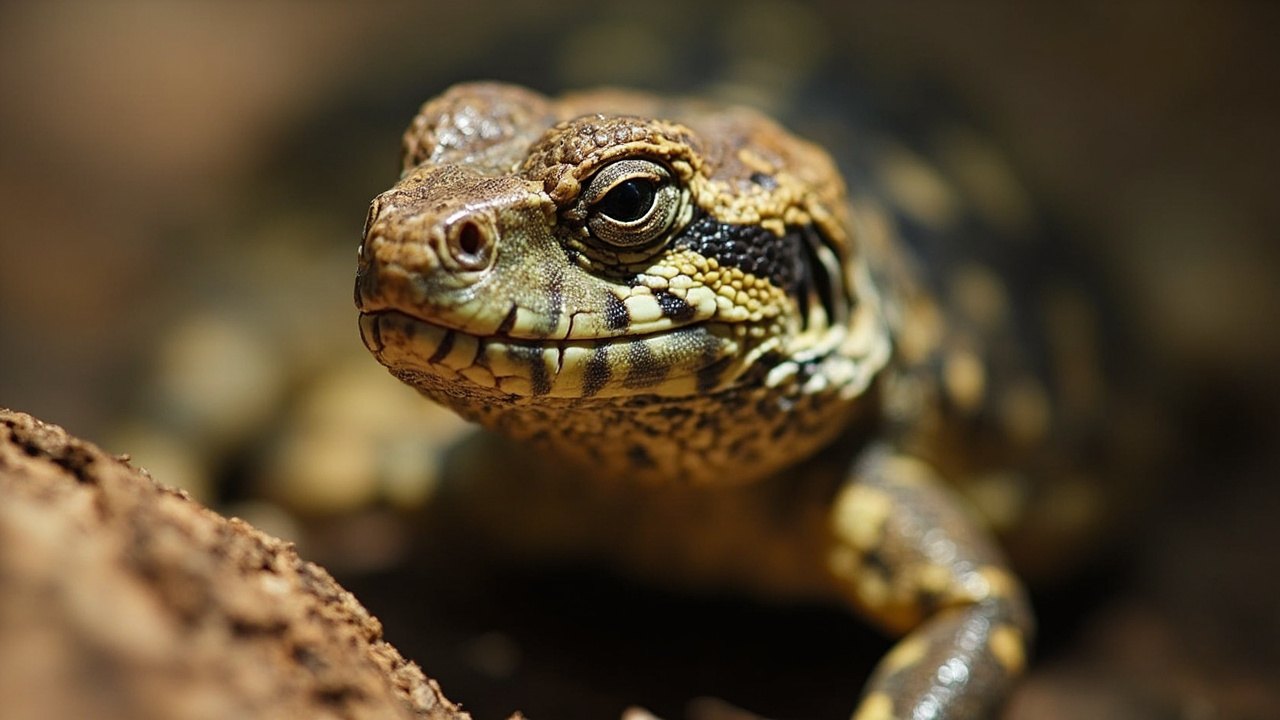
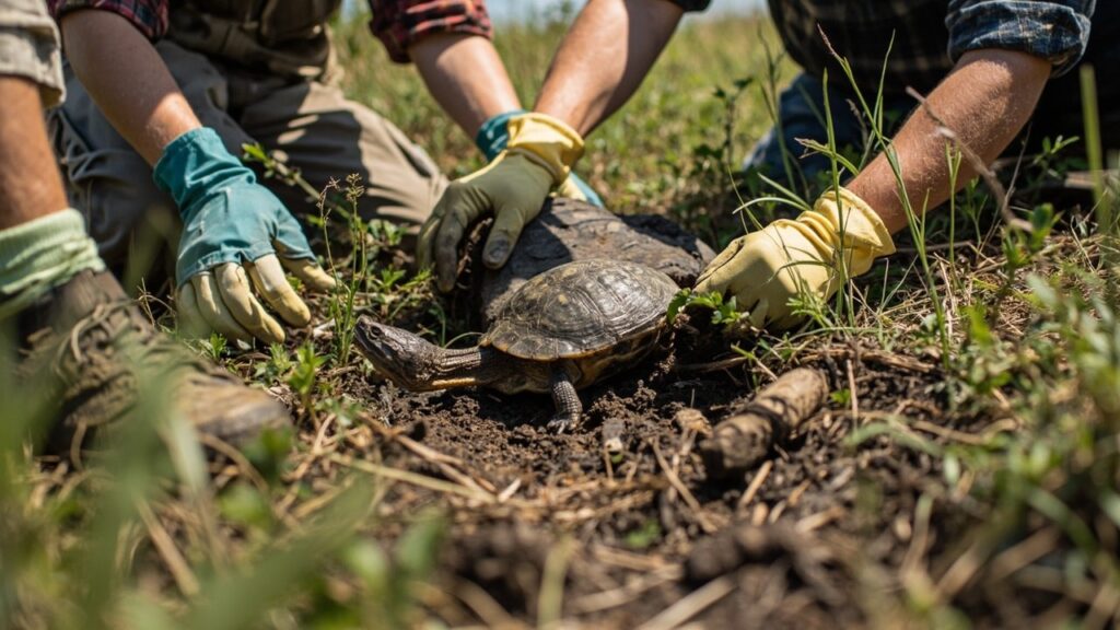
Conservation Must Work With People
Local communities, Indigenous peoples, landholders, scientists, and wildlife agencies all hold knowledge needed for durable conservation. Monitoring tools such as cameras, tracking, and mapping can support decisions, but they are useful only when paired with clear goals, accountable governance, and long-term habitat protection.
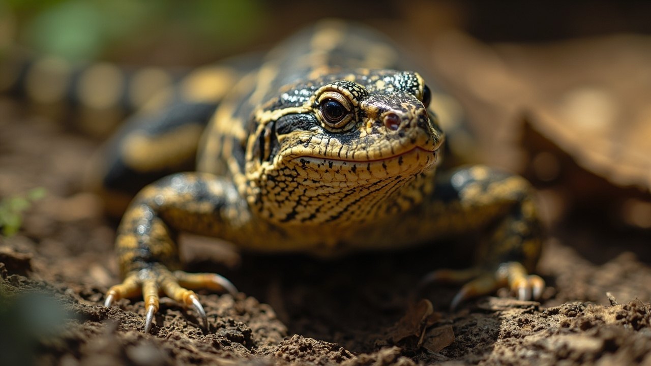
How a Reptile Conservation Hotspot Is Identified
A hotspot is a planning tool, not a label that automatically decides where funding should go. Researchers combine species records with range size, endemism, extinction risk, habitat condition, connectivity and the pressures affecting particular populations. An area with many widespread species may have different needs from a smaller place that contains a threatened species found nowhere else. Maps should therefore be checked against recent surveys, local knowledge and the way species use the site during feeding, nesting, sheltering and seasonal movement.
Turn Priorities Into Clear Actions
Conservation plans work best when each action is linked to a defined threat and a measurable outcome. Protecting a nesting beach, reducing road mortality, restoring a wetland edge or improving patrols against illegal collection require different partners and different evidence. Boundaries on a map are not enough if water regimes, fire patterns, river connections or surrounding land use still undermine habitat quality. Site-level planning should identify what needs to remain intact and who can manage it over time.
Monitor More Than Species Lists
Repeated records can show whether a species is still present, but presence alone may not demonstrate recovery. Monitoring can also track breeding habitat, mortality, invasive predators, vegetation condition and use of restored areas. Results should be shared with the communities and agencies responsible for the land, then used to adjust the plan. This approach keeps reptile biodiversity conservation tied to evidence rather than to a one-time ranking.
Sources and review notes
Reviewed 23 August 2026. Conservation is rarely a one-step success story. We have kept the language specific about evidence, limits and local context, because a programme that helps one population may not transfer neatly to another.
Reference starting points: The IUCN Red List of Threatened Species, IUCN conservation-translocation guidelines, and the current CITES Appendices. Conservation status, taxonomy and local laws can change, so check the linked databases and the relevant local authority for current information.
Spotted something we should revisit? Send Reptile Explorer a correction—thoughtful reader feedback is always welcome.