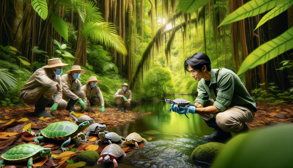
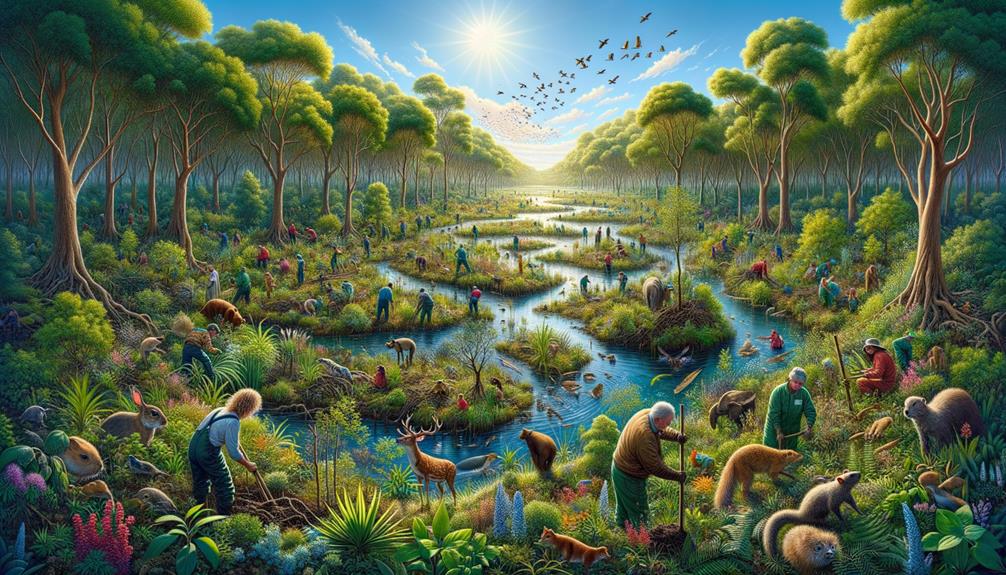
Groundbreaking techniques are revolutionizing reptile conservation. Drone technology creates precise thermal maps of habitats, offering valuable insights into temperature variations and microclimates. By tracking reptiles' thermal environments, we gain a deeper understanding of their movements and habitat use. Combining this with satellite data provides a comprehensive view, while engaging local communities through citizen science enhances data collection. These methods reduce the need for ground-based surveys and provide actionable data to inform habitat management and mitigate climate change impacts. There's still much to explore in these innovative approaches.
Key Takeaways
Conservation efforts can greatly benefit from advanced technologies. For instance, drones equipped with high-resolution thermal cameras can map habitats and track reptile movements, providing valuable insights into their behavior. By combining satellite data with ground-level observations, researchers can gain a more comprehensive understanding of reptile habitat use.
Thermal mapping also helps identify microclimates, which informs targeted conservation strategies. Engaging the public in data collection not only increases the accuracy of observations but also fosters community involvement. Moreover, using drones for surveys reduces the need for ground-based surveys, ultimately leading to more efficient habitat management and climate change mitigation.
Drone Technology in Conservation
Drone technology is transforming reptile conservation by providing high-resolution thermal mapping, helping us predict and mitigate the impacts of climate change on vulnerable species. By using drones, we can overcome the limitations of traditional ground-based methods and capture detailed temperature data across entire landscapes.
Imagine combining drone-based canopy metrics with ground temperature measurements to understand the thermal environments of species like the critically endangered A. bicaorum lizard. This integration enables us to identify the specific thermal needs of these lizards, which are crucial for their survival amid changing climates and habitat loss.
Drones offer a unique perspective on how climate change is altering habitats. This high-resolution thermal data is vital for effective conservation planning, allowing us to identify critical areas that require protection or restoration. With drone-based approaches, we can test and adapt our methods across various species and habitats, gaining a comprehensive understanding of thermal variations and their impacts on reptile populations. This flexibility is key to moving beyond traditional conservation methods.
Thermal Mapping of Habitats
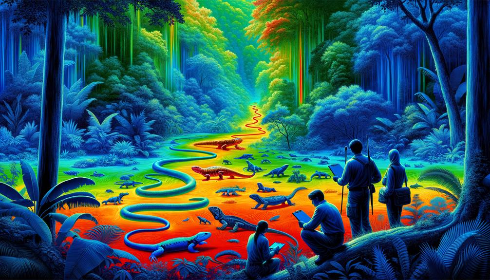
When I think about thermal mapping, I see a game-changer for understanding how temperature variations affect reptile movement and behavior. With this data, we can pinpoint their movement patterns and fine-tune habitat management strategies. This technology not only sheds light on their thermal ecology but also gives us the insights we need to make informed decisions that support conservation efforts.
Identifying Temperature Variations
In the quest to safeguard lizard populations, thermal mapping of their habitats has become a crucial tool. Lizards, as cold-blooded creatures, rely on specific thermal environments to survive. Traditional methods of taking temperature measurements are time-consuming and expensive, often limiting the scope of studies. That's where drones come in.
Drones allow us to collect detailed thermal data across vast habitats, capturing subtle temperature variations influenced by factors like canopy cover. This technology enables us to create continuous, high-resolution maps that reveal the intricate thermal landscapes these reptiles navigate daily. With drones, we can measure temperatures from the ground level up through the various layers of forest canopies, offering a 3D perspective of the thermal environment.
This drone-based approach not only streamlines data collection but also provides new insights into how microclimates within a habitat affect lizard behavior and distribution. By understanding these temperature variations, we're better equipped to predict how lizard populations might respond to climate change, ensuring we can develop more effective conservation strategies. This approach is a significant step forward in our mission to protect these vulnerable species.
Mapping Reptile Movement
Tracking reptile movement within their thermal landscapes is the next step in understanding their behavior and habitat use. By using drones, we've improved the way we study reptiles' thermal environments, especially in the face of habitat loss and climate change. Traditional methods, although insightful, are time-consuming and costly. The use of 3D-printed lizard replicas equipped with thermometers has added precision, but it's the continuous, high-resolution temperature maps created by drones that truly provide a more complete understanding.
Drones collect detailed canopy metrics over vast areas, allowing us to extract data on greenness and texture indices. We then use machine learning models to predict lizard temperatures, providing a comprehensive view of how these species interact with their thermal surroundings. This technique has been successfully applied to the critically endangered Bay Islands anole, showcasing its potential across different species and habitats.
As we map reptile movements within these thermal environments, we gain valuable insights that inform our conservation strategies. By understanding how reptiles navigate their habitats, we can better address the dual threats of climate change and habitat degradation, ensuring these remarkable creatures continue to thrive.
Improving Habitat Management
We're using drones to create high-resolution thermal maps, which is a game-changer in managing and protecting reptile habitats. By flying drones over landscapes, we gather essential data that traditional methods can't match. This data lets us combine information on canopy cover and ground temperatures, allowing us to predict the thermal suitability for species like the critically endangered Bay Islands anole.
With this approach, we can now understand how reptiles use their thermal environments, revealing new avenues for effective conservation strategies. The benefits are clear:
- Our high-resolution data offers unparalleled detail.
- This method reduces the need for expensive ground-based surveys.
- We can map entire habitats, not just select points.
- This approach can be applied across different species and habitats.
- It informs interventions to mitigate climate change impacts.
This drone-based thermal mapping approach is crucial in reptile conservation. It directly addresses the dual threats of climate change and habitat loss, offering a powerful tool to safeguard these vulnerable creatures. Our goal is to use cutting-edge technology to secure a future where reptiles thrive in their natural habitats.
Impact on Reptile Populations
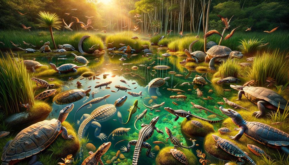
Understanding the thermal environments that reptiles inhabit is crucial for evaluating the impacts of climate change and habitat loss on their populations. By using a drone-based approach, we can gather high-resolution data that reveals the thermal suitability of various habitats for reptiles. This method offers a significant advantage over traditional techniques, such as 3D-printed lizard replicas with thermometers, by covering larger areas more efficiently.
The drone-based approach allows us to map canopy metrics and ground temperatures, providing a detailed picture of how these cold-blooded creatures interact with their environment. For instance, the critically endangered Bay Islands anole greatly benefits from these insights, as we can predict thermal suitability and develop more informed wildlife conservation strategies.
| Method | Scale & Scope |
|---|---|
| 3D-printed replicas | Limited |
| Drone-based approach | Extensive |
| Canopy metrics | High-resolution |
| Ground temperatures | Continuous thermal mapping |
Combining drone-derived data with ground temperature measurements creates continuous, high-resolution thermal maps. These maps are vital for understanding thermal variations across different landscapes. They enable us to test the method across various species and habitats, revealing how reptiles utilize their thermal environments more thoroughly. This data is crucial for developing effective conservation strategies, empowering us to protect these remarkable creatures from the threats of climate change and habitat loss.
Combining Data Sources
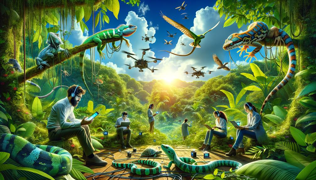
When combining data sources for reptile conservation, integrating satellite tracking and citizen science data can greatly improve our understanding. Satellite tracking provides precise information on reptile movements across vast landscapes, while citizen science data offers a detailed, ground-level perspective. By combining these methods, we can create a comprehensive approach that strengthens our ability to protect these vulnerable species.
Integrating Satellite Tracking
Combining satellite tracking data with environmental datasets, such as weather patterns and habitat information, significantly advances our understanding of reptile behavior and ecology. By continuously monitoring reptiles using satellite tracking, I gain valuable insights into their movements, home ranges, and reactions to environmental changes. When I integrate this data with other environmental variables, like temperature, precipitation, and vegetation cover, I can identify critical habitats and the factors that influence reptile survival and migration.
By overlaying satellite tracking data with high-resolution maps of habitat quality and availability, I pinpoint areas that require immediate conservation efforts to protect vulnerable populations. This multi-faceted approach not only reveals current threats but also helps anticipate how reptiles might respond to future climate changes, informing more effective conservation strategies.
This integration is crucial for several reasons:
Continuous monitoring provides real-time data on reptile movements.
Critical habitat identification pinpoints vital areas for conservation.
Analyzing environmental variables helps understand the impact of changes.
Informed conservation strategies are made possible by data-driven decisions.
Climate change modeling predicts future habitat and population dynamics.
This holistic approach offers a new perspective on how we can protect and conserve reptile species, ensuring their survival in a changing world.
Utilizing Citizen Science Data
Harnessing the Power of Citizen Science Data for Reptile Conservation
Everyday enthusiasts are collecting valuable reptile sightings, which can be leveraged to bolster conservation efforts and fill gaps left by traditional research methods. By combining these citizen science data with official survey data, we can create more accurate maps of species distributions and monitor population trends.
Online platforms like iNaturalist have transformed conservation planning by enabling the efficient sharing and aggregation of observations. These platforms empower individuals to contribute to larger conservation goals, turning casual reptile sightings into actionable data. Imagine thousands of people observing and recording crucial information about local wildlife. This collective effort not only informs conservation strategies but also fosters a sense of environmental responsibility.
Engaging the public in reptile monitoring does more than just gather data; it raises awareness and cultivates a sense of ownership for our natural world. When citizens participate in monitoring, they become advocates for the habitats they explore. This fusion of grassroots involvement and scientific rigor holds the key to effective, community-driven reptile conservation.
Addressing Climate Change
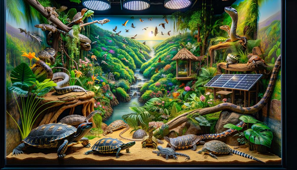
Addressing climate change's devastating impact on cold-blooded reptiles, like the Bay Islands anole, requires innovative, high-resolution thermal mapping techniques that go beyond traditional methods. To protect these critical endangered species, we've started using drone-based technology to gather detailed canopy metrics and map thermal variations throughout their habitats, allowing us to assess thermal suitability more accurately than ever before.
By combining drone data on canopy cover and structure with ground temperature measurements, we create continuous, detailed temperature maps. These maps are crucial for understanding the specific thermal niche that species like the Bay Islands anole require for survival. Mapping thermal variations throughout the day and across different habitats is vital because it addresses the dual threats of climate change and habitat loss.
Using drones to gather detailed canopy metrics, we create continuous temperature maps that enable us to assess thermal suitability for critical endangered species. This approach informs conservation strategies with high-resolution data, providing a lifeline for cold-blooded species struggling against the relentless impacts of climate change. By meticulously mapping their thermal environments, we can better protect these vulnerable creatures and support their ability to thrive.
Future Research Directions
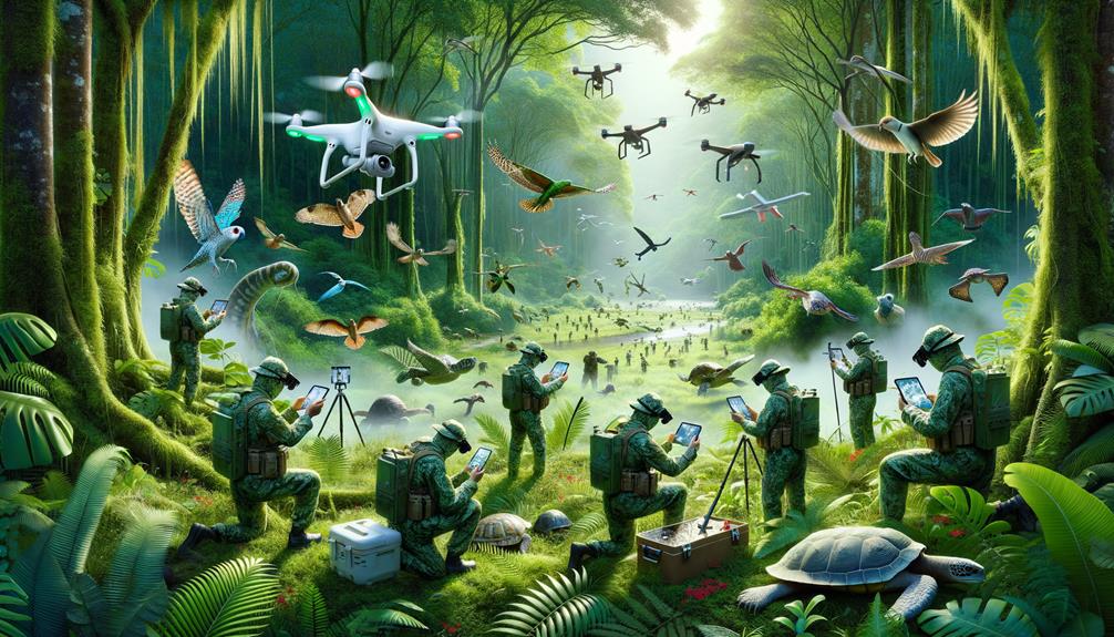
What future paths can we explore to deepen our understanding and enhance our conservation efforts for reptile species in the face of climate change?
Using drones equipped with advanced thermal imaging can help us create high-resolution temperature maps over vast landscapes. This is crucial for recognizing the impact of climate change and habitat loss on reptiles, particularly critically endangered species like the Bay Islands anole.
By combining drone-based canopy metrics with ground temperature data, we can develop precise models that predict the thermal environments specific reptiles experience. This enhances our understanding of their ecological needs. Additionally, a drone-based approach allows us to gather 3D data, mapping thermal variations across different microhabitats and times of day. This insight is vital for crafting targeted conservation strategies.
Testing these techniques across various species and habitats could significantly improve our approach to reptile conservation. The ability to pinpoint thermal refuges and predict habitat suitability offers a proactive method to combat the dual threats of climate change and habitat loss. This innovative approach is critical to ensuring the survival of endangered cold-blooded species.
Frequently Asked Questions
What Are the Strategies for Reptile Conservation?
To conserve reptiles, I employ strategies like installing turtle crossing signs during nesting season, protecting vernal pools, and attracting pollinators. I also avoid using pesticides, create forested buffers, incorporate native plants, and participate in citizen science projects.
How to Save Endangered Reptiles?
How can we save endangered reptiles? Protecting their habitats is crucial, as is addressing the impacts of climate change. With advanced technology, we can gather precise data to ensure these unique creatures continue to thrive in their natural environments.
What Does the International Reptile Conservation Foundation Do?
I work with the International Reptile Conservation Foundation, where our focus is on protecting endangered reptile species worldwide. We achieve this through in-situ conservation, restoring habitats, educating the public, and combating illegal wildlife trade. By collaborating with local communities and funding research, we're making a difference.
Where Do Most Reptiles Live?
Imagine a world where reptiles reign supreme – most thriving in warm, sun-kissed habitats like deserts, forests, and wetlands. I'm passionate about their survival and the vital roles they play in ecosystems.


